James Ford Bell Library
The James Ford Bell Library makes history come alive through its premier collection of rare books, manuscripts, maps, archival collections, and other materials that document the history and impact of trade and cultural exchange prior to ca. 1825 CE.
Collections

Rare books and artifacts
Our varied collection of rare books, both print and manuscript, represent more than six centuries of human interaction around the globe. Our small but growing collection of artifacts include globes, paintings, and ephemera.

Documents, manuscripts, and archival collections
Government documents, letters, passports, licenses, and other documents of practice, both print and manuscript, can be found within this part of the Bell collection. These collections represent both individuals and corporate bodies, like the major trading companies of the early modern era.

Historical maps
The more than 22,000 maps in the Bell collection provide insight into the people of the past viewed their world. Many of these maps are freely available online.
Featured content

Digitized materials
The James Ford Bell Library's growing collection of digitized materials can be found in the Libraries' digital archive, UMedia. New items are added frequently. Most items can be freely downloaded; if you require images at a higher resolution, please contact a Bell staff member.

Matteo Ricci's World Map
Kunyu wanguo quantu 坤輿萬國全圖 (Complete Geographical Map of Ten Thousand Countries), is the oldest surviving map in Chinese to show the Americas. This 12 foot x 5.75 foot six-panel world map is one of the highlights of the Bell collection.

Exhibitions and instructional resources
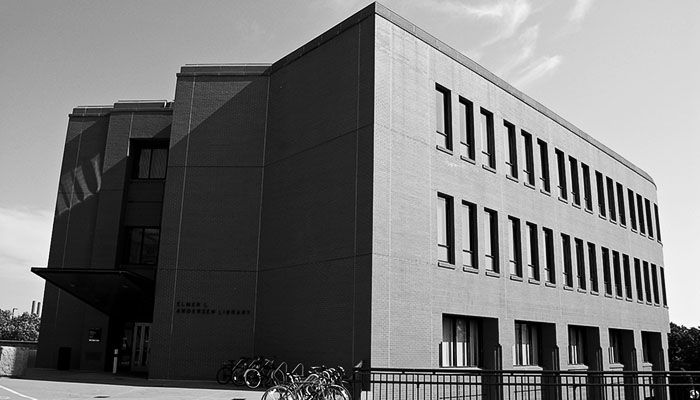
The James Ford Bell Library has a robust exhibition program, offering physical exhibitions in the Bell Gallery in the Elmer L. Andersen Library building, as well as digital exhibits, some of which drawn from physical exhibitions. Most of our digital exhibits can be used as learning modules for K-12, college students, and lifelong learners.

Events and announcements
Prepare for your visit
Materials from the James Ford Bell Library are available by appointment only. Initial consultations will be held remotely by phone or online during the phased reopening of the Libraries due to COVID-19.
Material requests and appointments must be made at least one week in advance (this differs from detailed visit instructions linked below) and are dependent on staff availability. If you are not sure about what you would like to see, please request a consultation.
Visit
- Hours
-
- Closed
- to
- to
- to
- to
- Note: Appointments are required to visit the reading room within these hours.
James Ford Bell Library
- Visit
-
15F Andersen Library
222 21st Ave South
Minneapolis, MN 55455 - Parking information
- Call
- 612-624-1528
- [email protected]
Research consultation
Our staff works with individuals and small groups to locate materials in the collection appropriate for your research topic. The service is available everyone. Consultations may be in person or on line via Zoom; an appointment is required.
Teaching and learning
We support teaching and learning at all levels and welcome interaction with the collection. We work with instructors to craft a unique learning experience for students; we work with students to develop skills in handling, using, and comprehending primary sources.
- K-12
- Undergraduate & Graduate Courses
- Lifelong Learning
Give to the collection
- Giving options
- Associates of the James Ford Bell Library
- Purchase Tulips, Chocolate & Silk